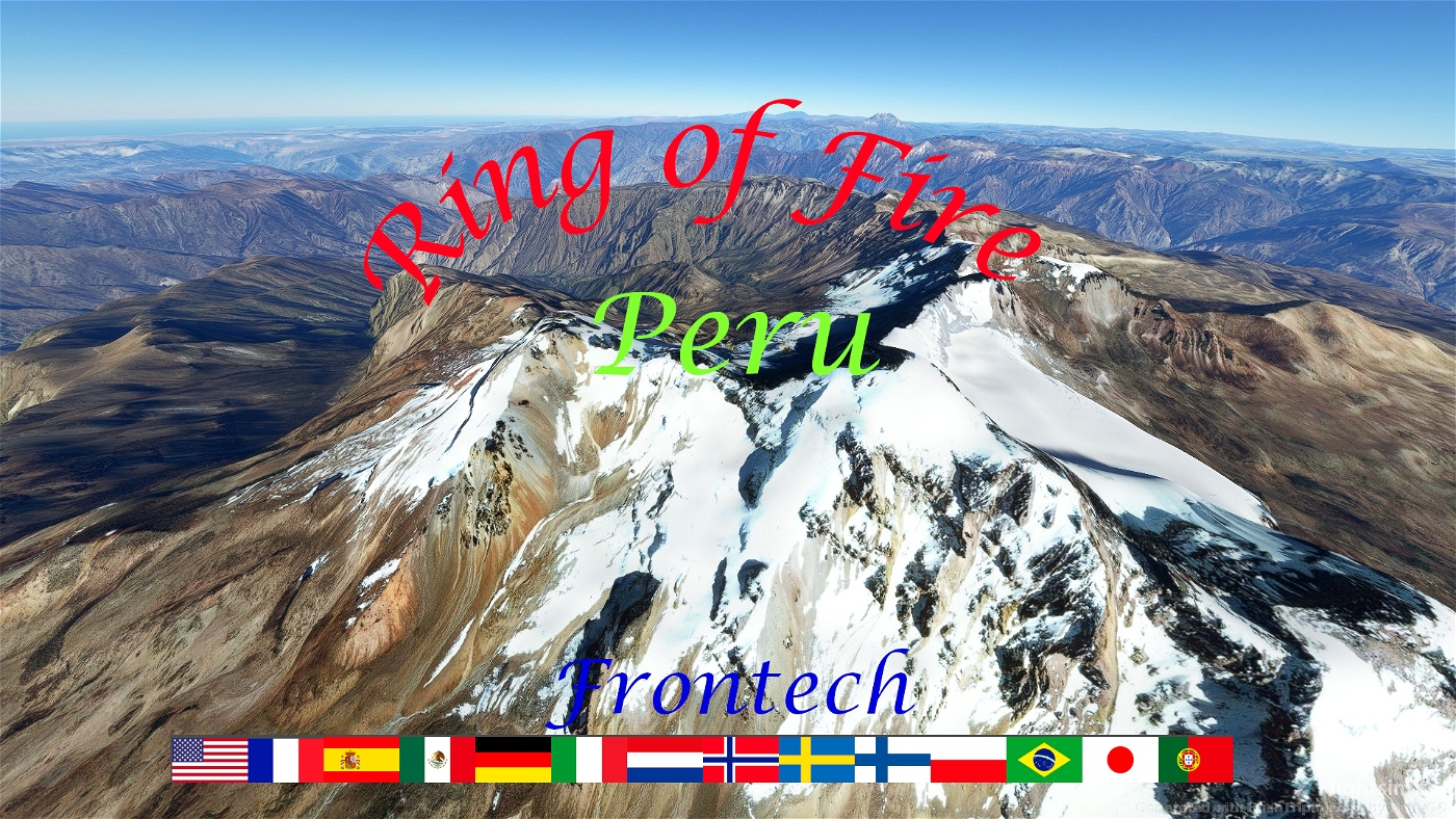
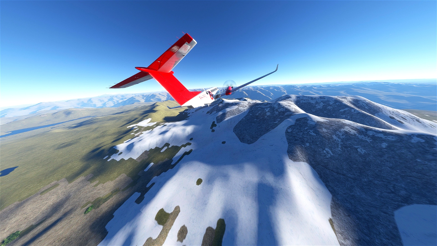
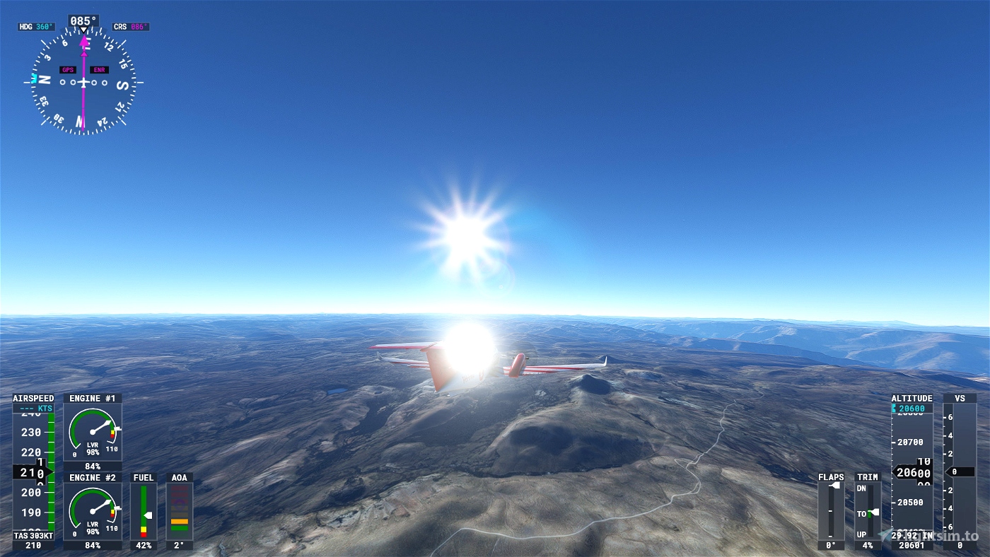
Flying high, that is what you do when take a trip to see the volcanoes of Peru. Starting at 1456 feet and finally land at 14422 feet.
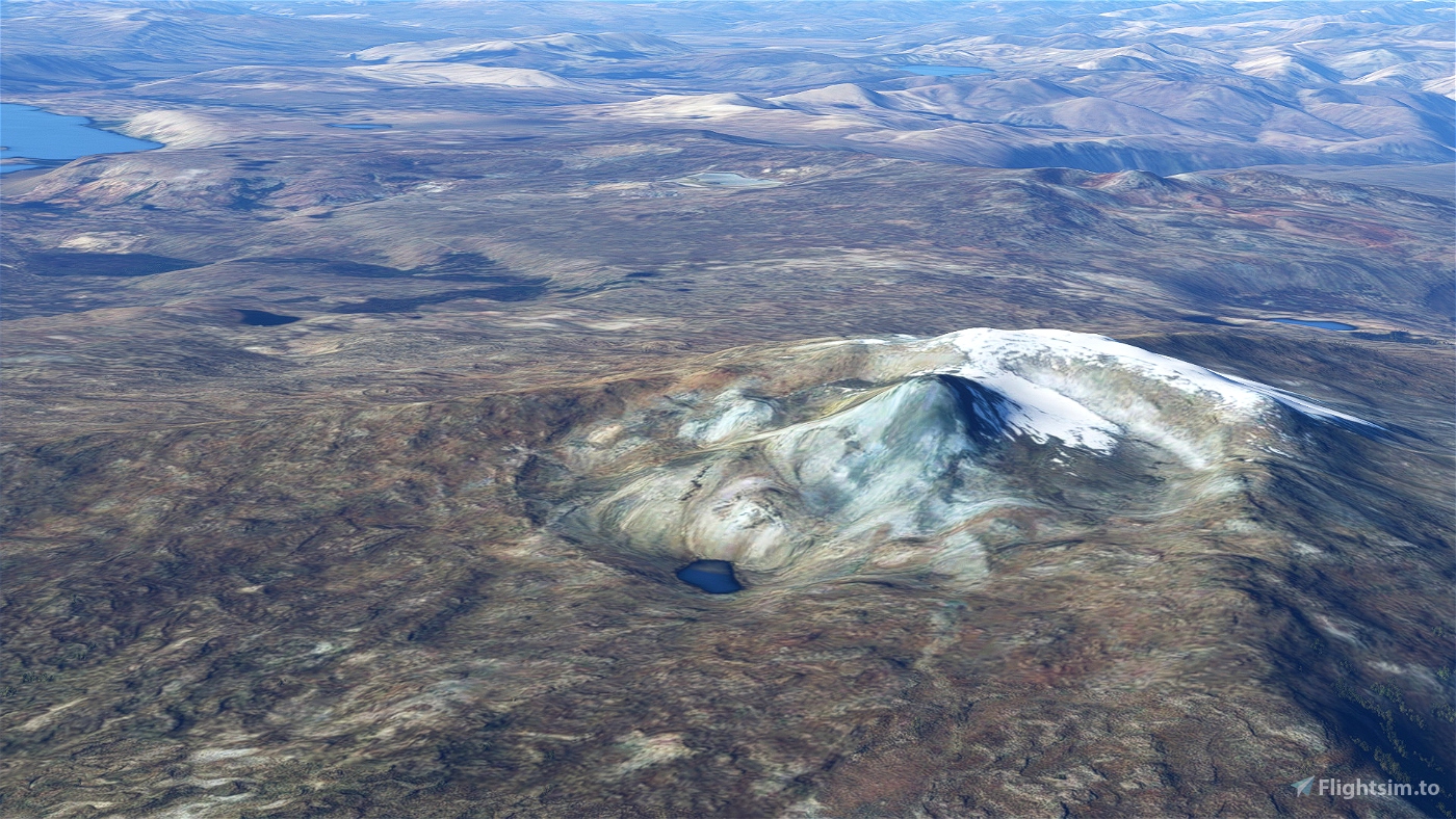
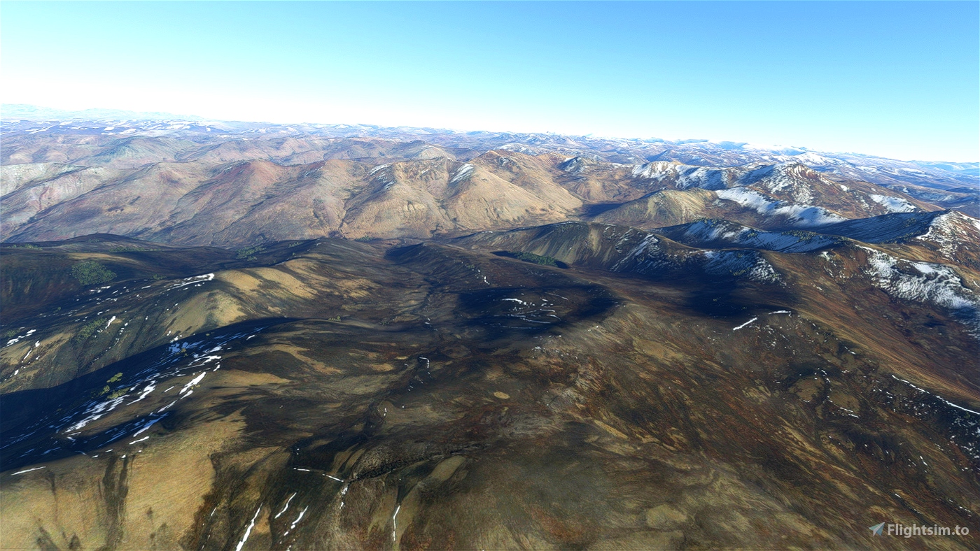
The volcanoes in Peru are a part of the so-called Ring of Fire. Volcanoes lying on the borders of tectonic plates. Three quarters of the earth’s volcanoes are set along this Ring of Fire, a 40,000-kilometer horseshoe-shaped chain of volcanic activity. It stretches from New Zealand to Japan, through the Bering Sea, and along the west coast of the United States to the southern edge of South America.
Peru is a country on the central western coast of South America facing the Pacific Ocean. It lies wholly in the Southern Hemisphere, its northernmost extreme reaching to 1.8 minutes of latitude or about 3.3 kilometres (2.1 mi) south of the equator. Peru shares land borders with Ecuador, Colombia, Brazil, Bolivia, and Chile, with its longest land border shared with Brazil.
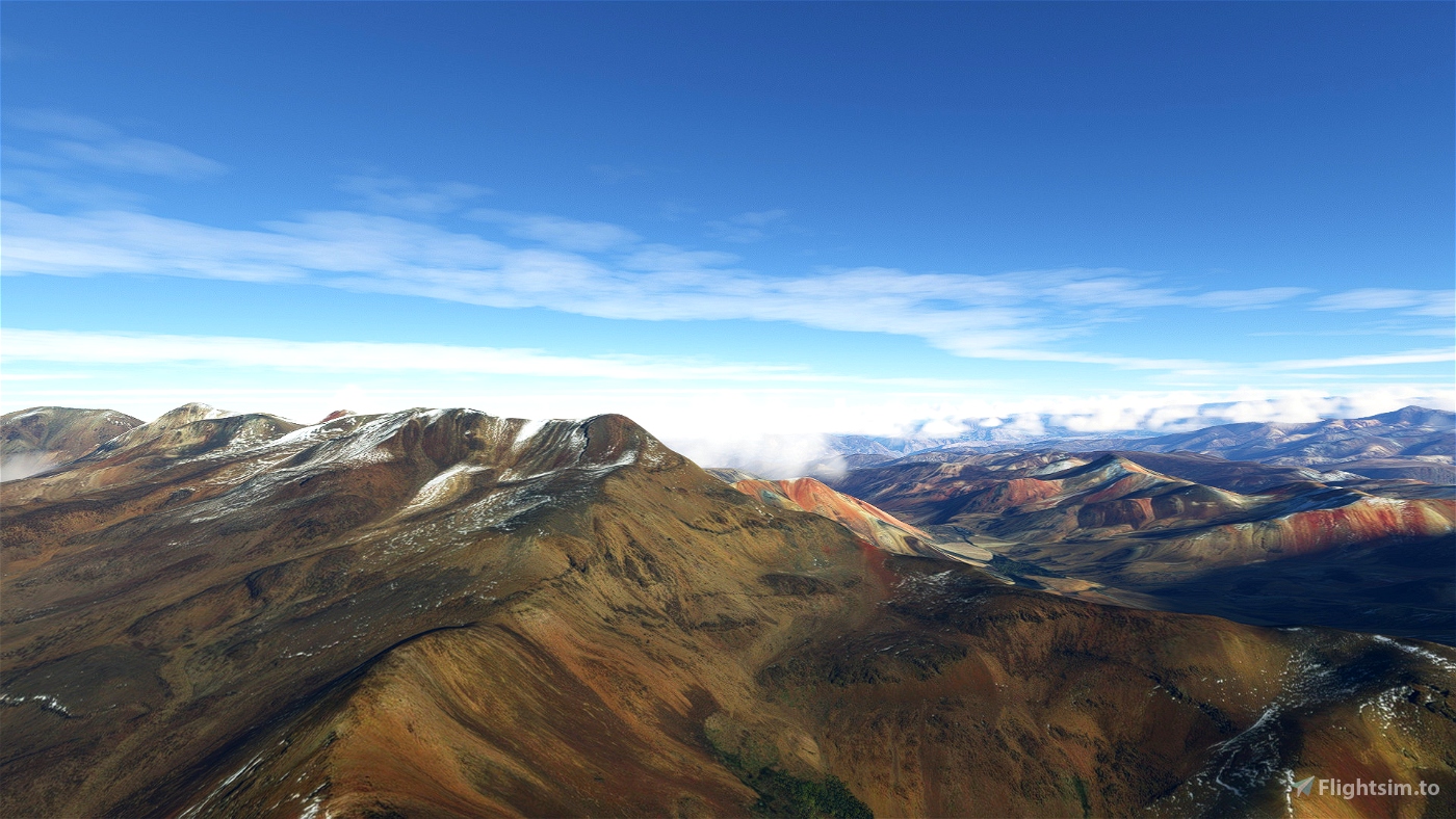
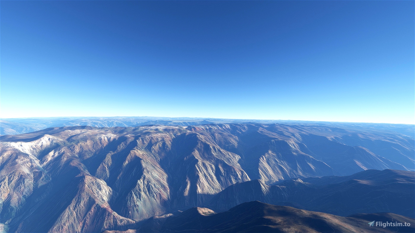
Peru lies on the Andean Volcanic Belt between two volcanic gaps. The Andean Belt is formed as a result of subduction of the Nazca Plate and Antarctic Plate underneath the South American Plate. The belt is subdivided into four main volcanic zones which are separated by volcanic gaps. In the North there is the Peruvian Gap, where the subduction is at such a shallow angle that magma is not generated by the process. In the south it is the Pampean gap where Peru borders with the region Norte Grande in Chile. Between these gaps are the volcanoes of Peru, in the Central Volcanic Zone, within this zone, 44 major and 18 minor volcanic centres are active. They are not all in this trip. The major ones are there as well as the most active in the recent past.
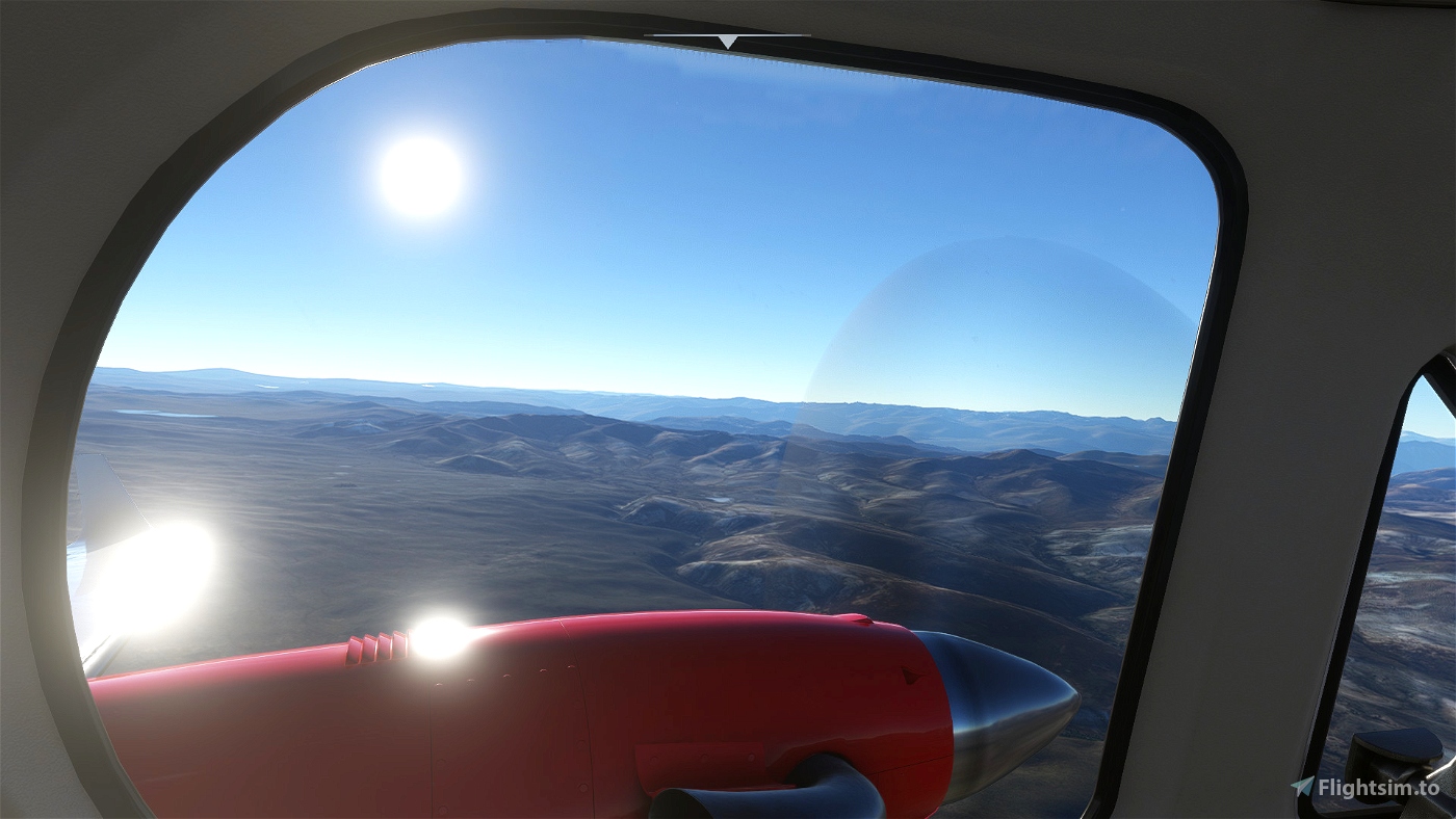
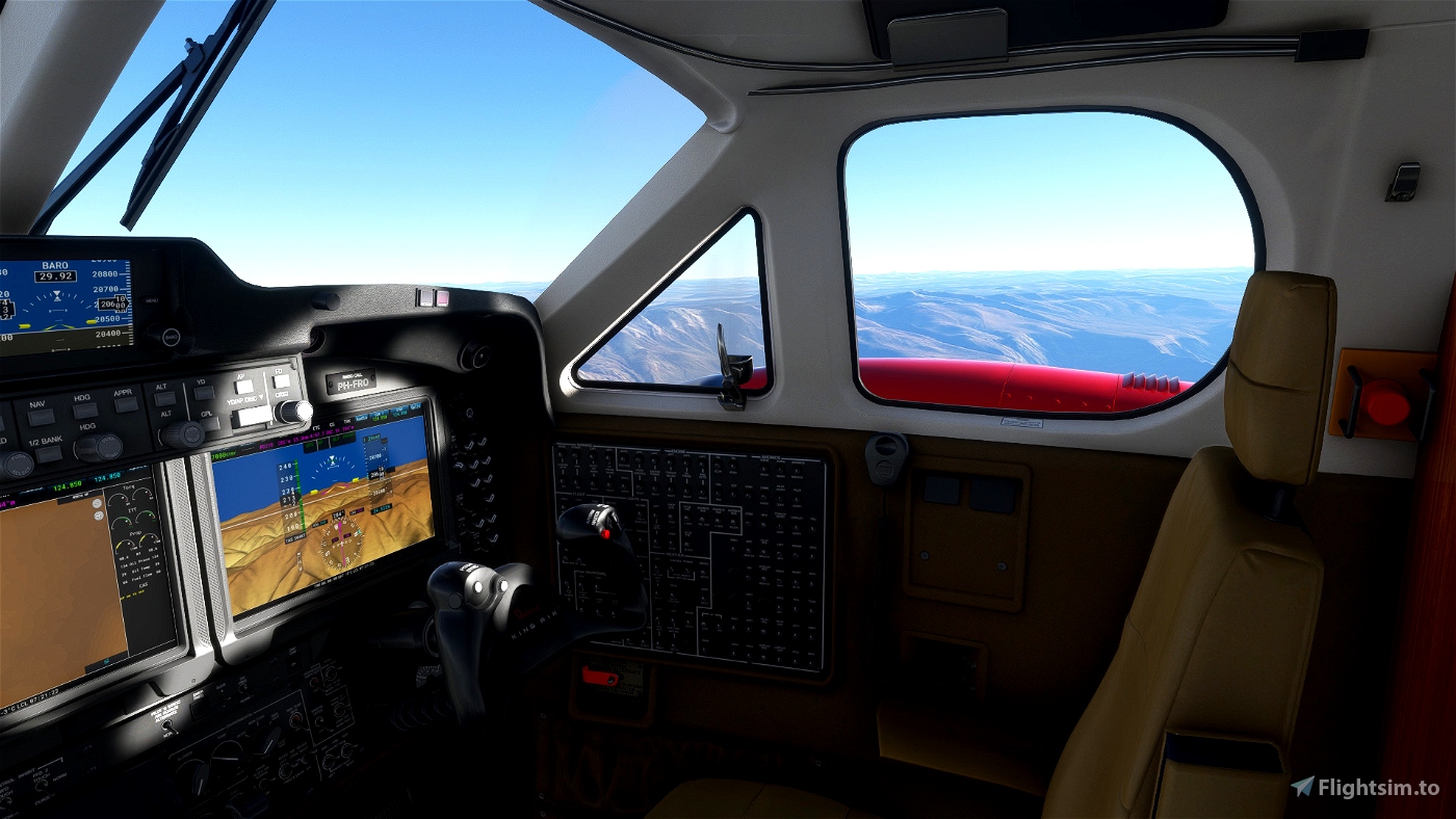
You fly with a Beechcraft King Air 350i. Refuel is only available on some airports along the flight path. So, keep an eye on your fuel gauge. If you want another aircraft, you can change that with the MissionChanger by BuffyGC.
The trip is written in American English and with DeepL translated into: French, Spanish, German, Italian, Netherlands, Norwegian, Swedish, Finnish, Polish, Portuguese (Brazil), Japanese and Portuguese (Portugal).
The flight information is spoken short before a waypoint turn, GPS is available and loaded for those who want to use it. When flying AP you have to go manual with certain sharp turns. Weather, PreSet is ClearSky. The explanation on the volcanoes and other sights is available in the NAVlog. The text is also available in the Flight book.
Installation: Copy the folder frontech-bt-rofperu from the zip.file into your Community Folder.
After landing you have to park your plane and shut it down, else the leg will not end.
In the zip you find:
· The BushTrip, 647 NM long in 5 legs
· The written flight plan from LittleNavmap
· A KML file to project the trip in Google Earth
· A Flight Book
· An Excel file with all translations
· A list of airports where you can refuel
· An overview of altitude according to LittleNavmap
As always, I have to thank BuffyGC for his BushTripInjector and Alexander Barthel for LittleNavmap. All information is found in Wikipedia and some other sources on the internet.

 Frontech


7 months ago
7 months ago
Frontech
bubele