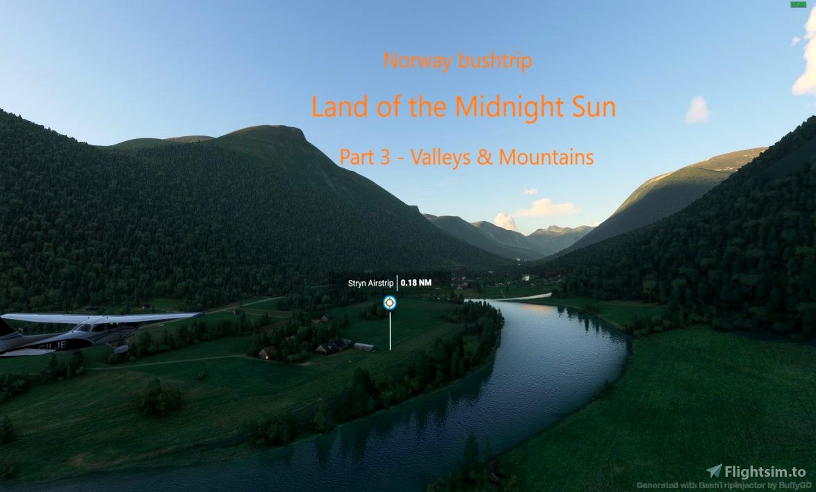
Welcome to the 3rd (and probably my last -) ) of the Norwegian bush trips - Land of the Midnight Sun.
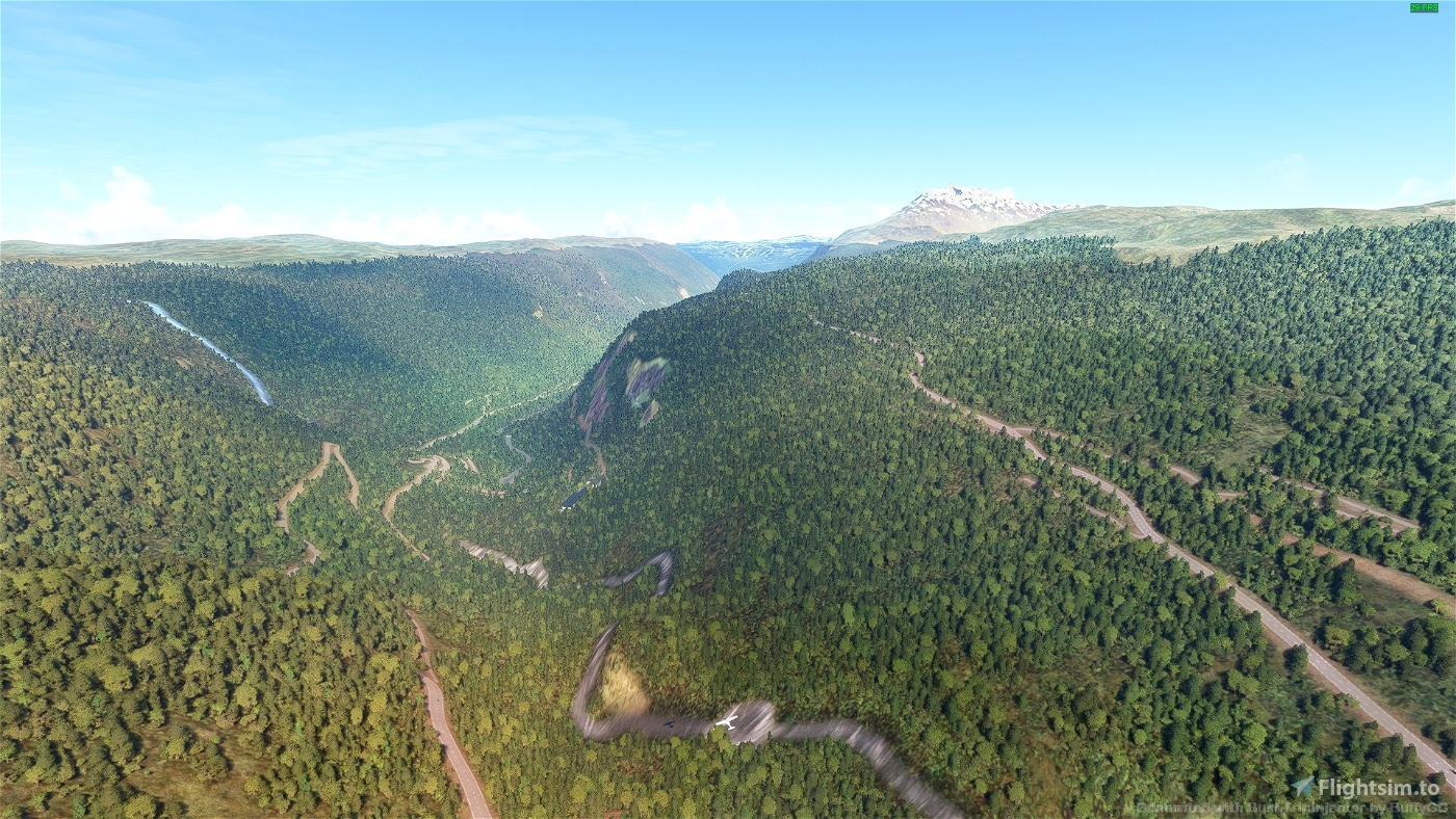
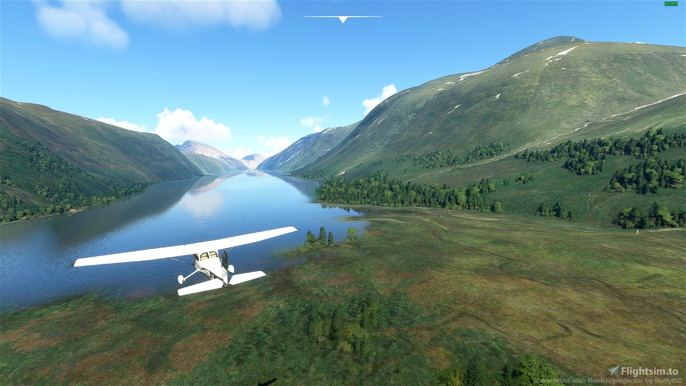
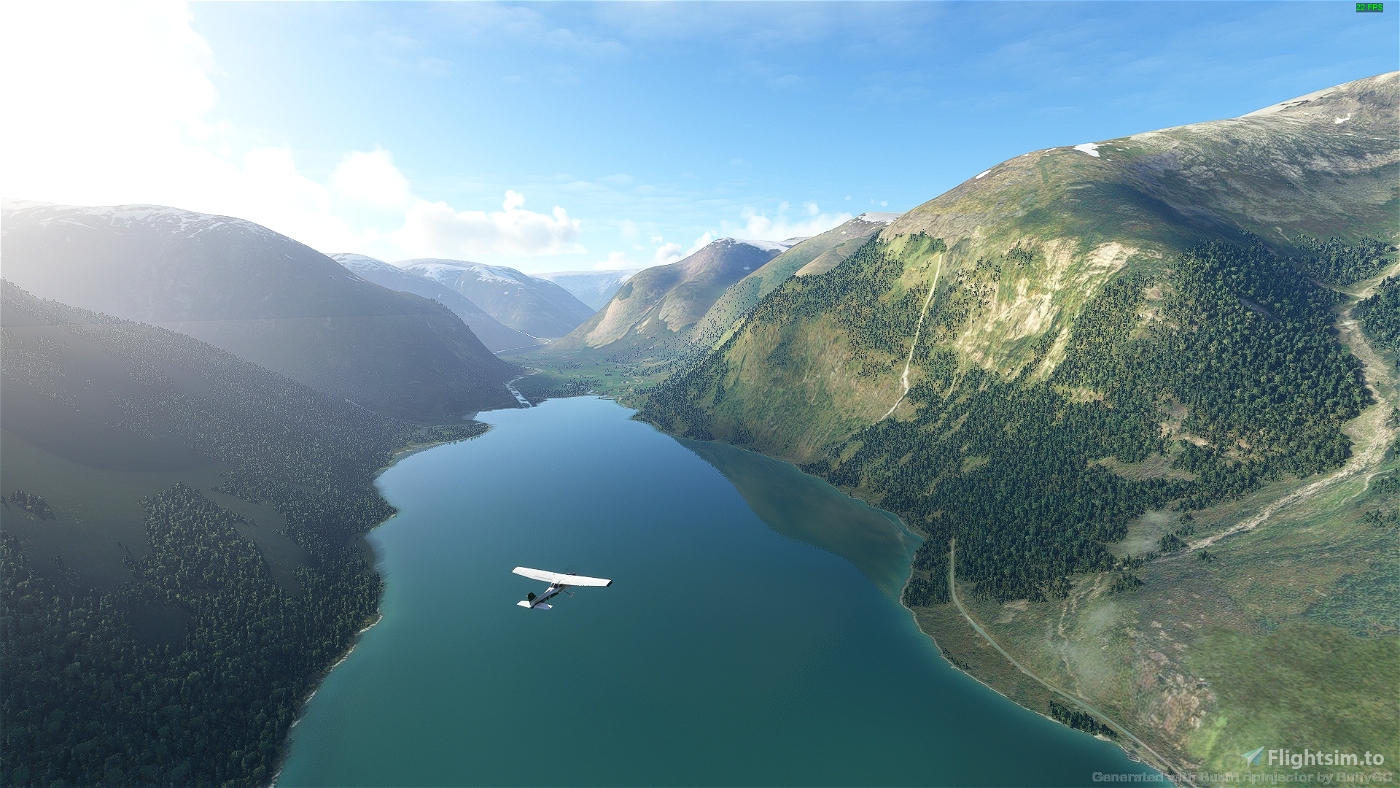
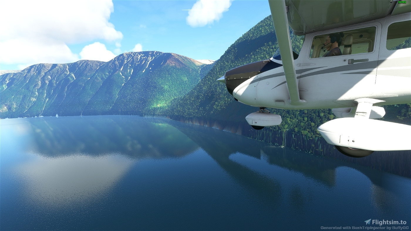
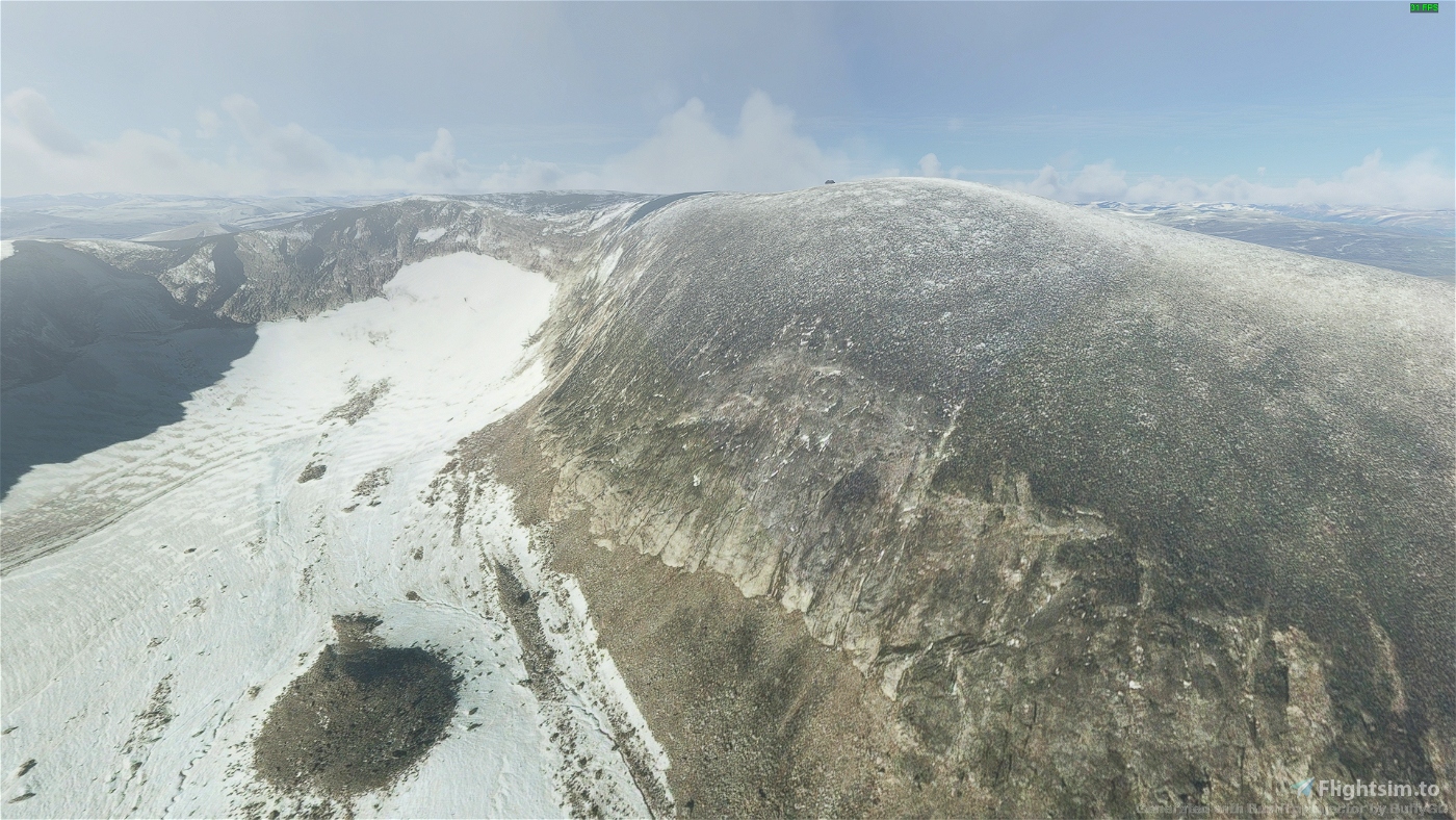
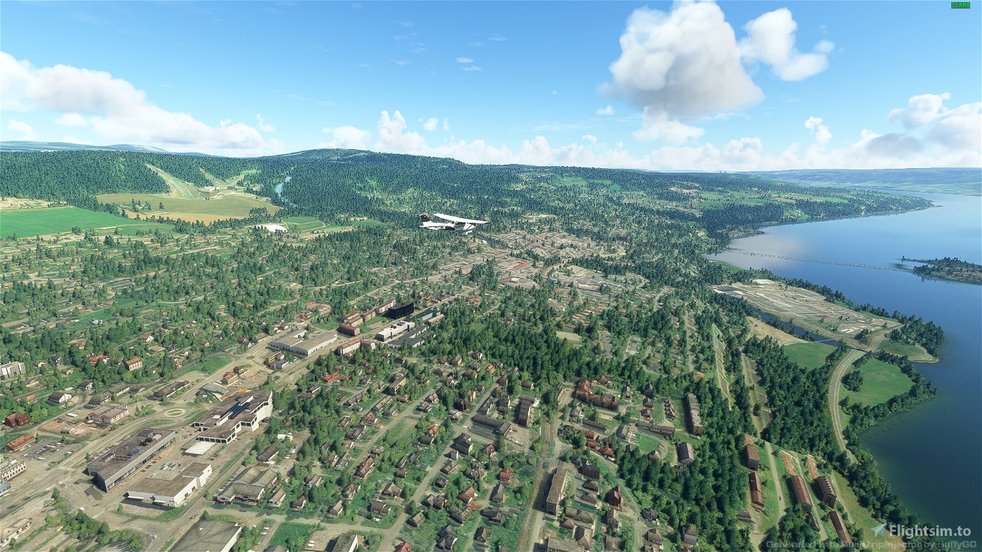
This part covers the inland valleys and mountains in the Southern part of Norway and is a 6-7 hour flight (remember to refuel at one point).
I've made this thanks to BushTripInjector (a great tool) and MyLittle Navmap (also a great tool).
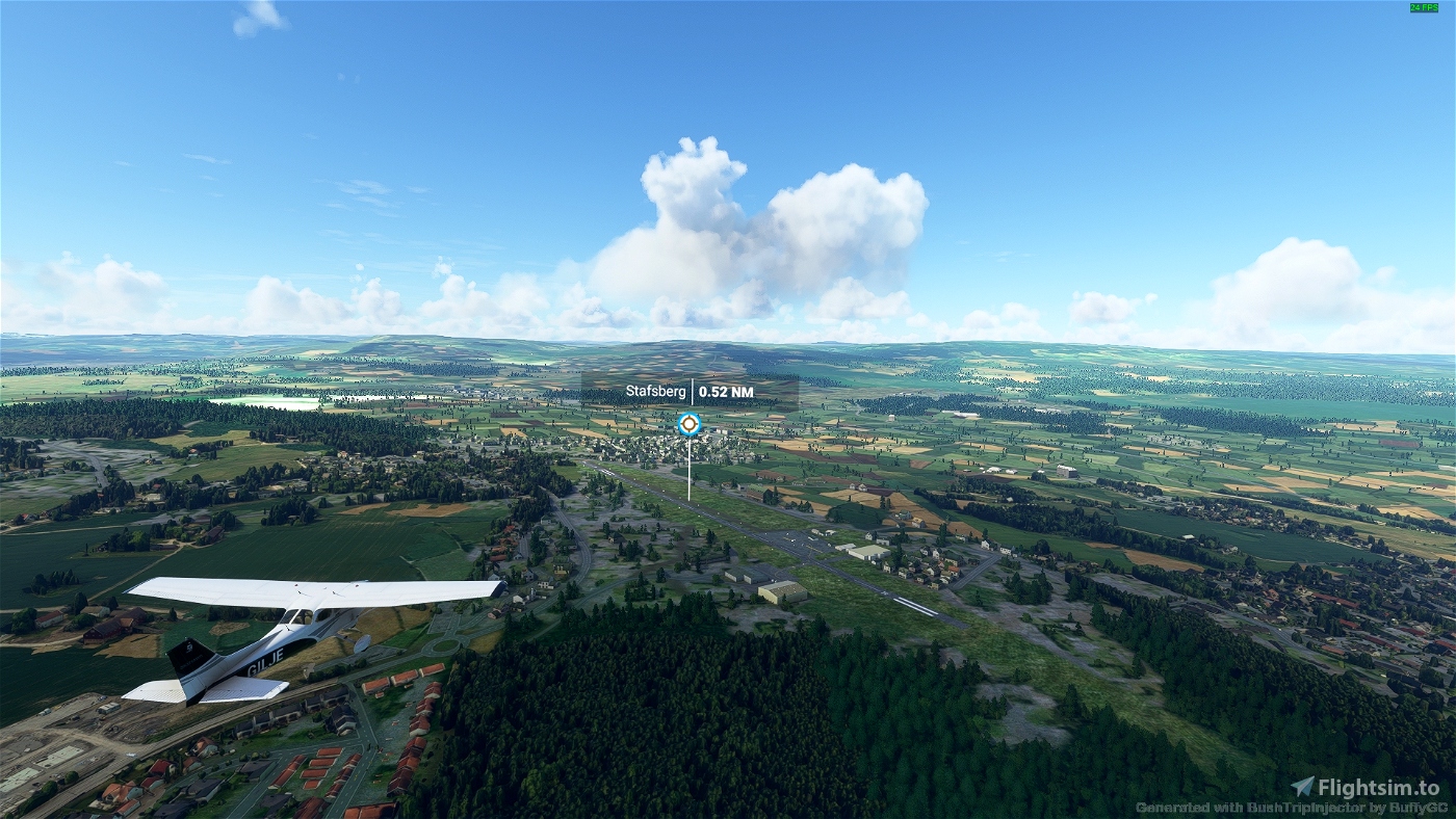
I must warn - I have downloaded a lot of the scenery enhancements found here on flightsim.to for Norway - I think I've used mainly airports that are in the flight sim originally, but if not - you will find them all here. I also recommend many of the enhancements for Norway (for lakes ++) as it makes the experience better.
I had one difficulty when making this bushtrip - and that was whether to include the area of Vemork and Rjukan or not. This is a beautiful part of Norway and I was really looking forward to fly down the valley. The problem is that the town of Rjukan is in the shade most of the year due to the mountains surrounding it (they even have a "sun-mirror" to mirror sunlight from higher up down into the town square). Because of this the Bing maps are TERRIBLE in this area - and so are the Google maps.... I decided to include it despite it's shortcomings in the flightsim, and I included a nice picture from HANS-DIETER FLEGE showing how beautiful this valley really is (it's on the Unesco world heritage list).
I hope you enjoy the trip!
PS: I'm thinking that my next project (if I can figure out how to do it) is to make a series of POI to point out some areas of interest along my various bush trips - and in Norway in general. One for towns and one for mountains & lakes. It would add to the sightseeing, but will of course not be so good for everyone wanting to navigate by themselves :-).
Reviews
Thank you very much! I enjoyed all your norway bushtrips!
3 years ago

Comments
Destul de goală pe aici.

Thank you very much! I enjoyed all your norway bushtrips!
3 years ago
Archerie
3 years ago
FlyingSinger
3 years ago
TheZombieDonkey
Maybe following the Nordland line from Trondheim to Bodø World be another good one?.... Or perhaps Bergensbanen by air?
3 years ago
3 years ago
jogiflight
SEPTIC