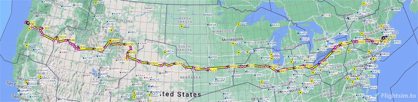
This is a follow-up to my I-90 coast-to-coast route from almost a year ago. This route is about 80 miles south of I-90 in the country's heartland, so it will still offer views you won't see in the I-90 route if you did that. It's meant to be followed VFR, and the two file options are mentioned below. There's also a link to the route in SkyVector.
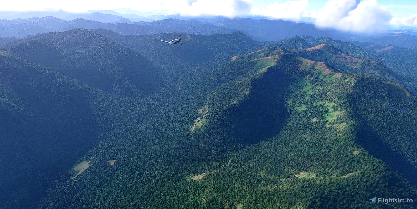
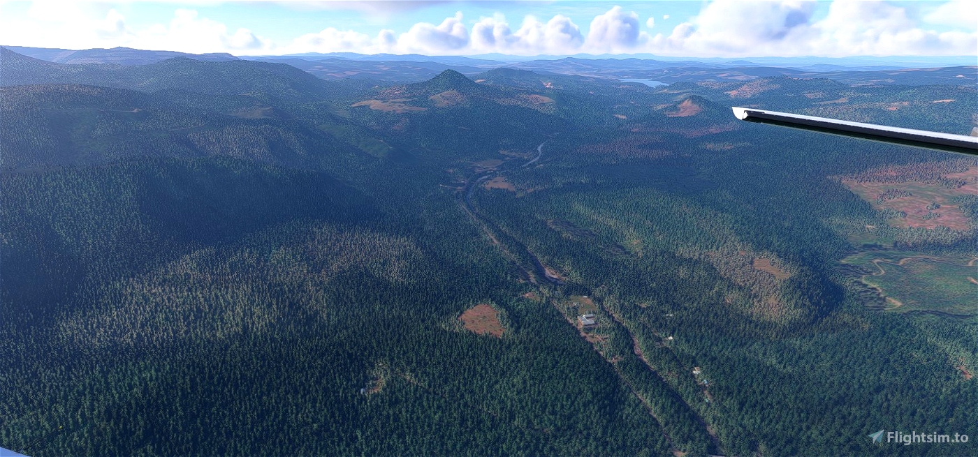
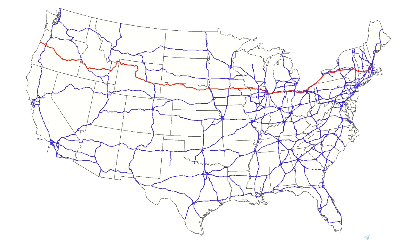
Flying east from the Oregon coast (Newport; KONP) to Logan International (Boston; KBOS) above the 3,365 mile / 5,415 km-long U.S. Route 20, the longest road in the country. Due to airport locations, this route by air is 3,121 miles / 5,021 km (2,712 nm). The route stops in or flies over twelve states: Oregon, Idaho, Montana, Wyoming, Nebraska, Iowa, Illinois, Indiana, Ohio, Pennsylvania, New York and Massachusetts.
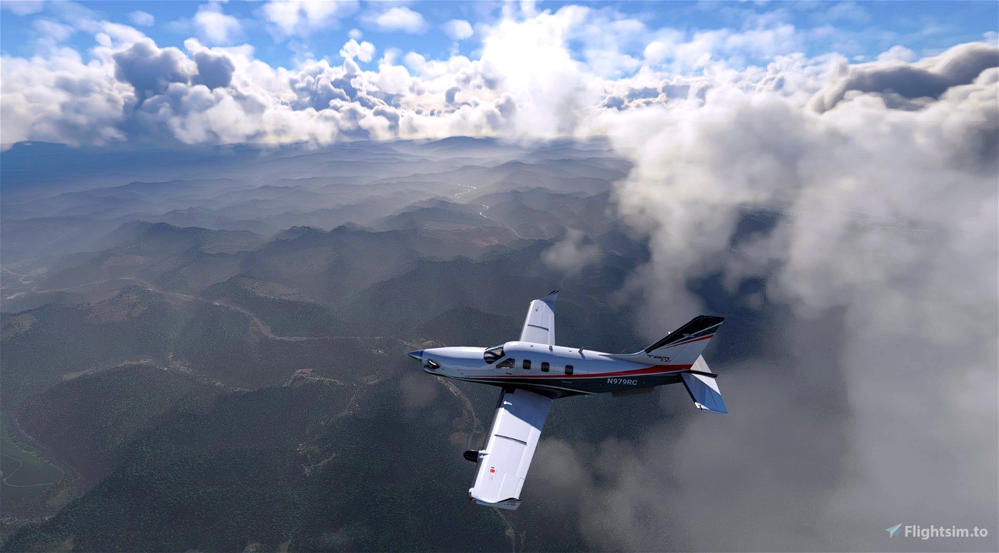
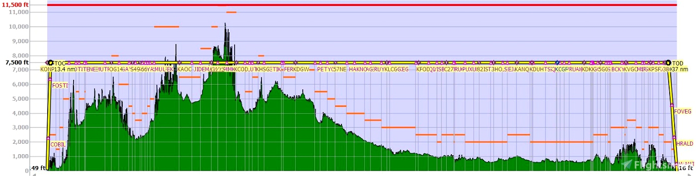
The leg safe altitudes range from 7,500 feet in the beginning stages, climbing to 11,500 feet for the second quarter. Around the middle of the route, it lowers back down to 7,500 feet, then decreases to 3,000 feet from around KLCG in Nebraska. I've attached the elevation profile from Little Navmap.
I have default scenery for every airport except Yellowstone Airport (KWYS, available for free here), which, given my collection, likely means there is only default scenery for these airports.
I’ve included the flight plan in both MSFS (.pln) and Little Navmap (.lnmpln) formats. To view it on SkyVector, click here.
There are 25 legs (for an average of 108 nm per leg):
· KONP to 5S5 (154 miles)
· 5S5 to OG14 (156 miles)
· OG14 to S49 (91 miles)
· S49 to 2U0 (98 miles)
· 2U0 to KAOC (105 miles)
· KAOC to KWYS (138 miles)
· KWYS to KCOD (108 miles)
· KCOD to KHSG (94 miles)
· KHSG to KDGW (161 miles)
· KDGW to 57NE (171 miles)
· 57NE to 8V2 (125 miles; halfway point)
· 8V2 to KLCG (97 miles)
· KLCG to KFOD (136 miles)
· KFOD to C27 (121 miles)
· C27 to 82IS (141 miles)
· 82IS to 3HO (62 miles)
· 3HO to KANQ (99 miles)
· KANQ to KDUH (65 miles)
· KDUH to KCGF (110 miles)
· KCGF to KDKK (115 miles)
· KDKK to 5G0 (71 miles)
· 5G0 to KVGC (109 miles)
· KVGC to KPSF (106 miles)
· KPSF to 3B0 (63 miles)
· 3B0 to KBOS (51 miles)
MSFS Forums user CasualClick is reviewing the route, leg by leg, here.

 newtestleper


This is a great trip - enjoying every minute!
2 years ago
OnlineCraig
Great long trip. Plenty of landscapes to fly over. Thank you.
2 years ago
fStopper