


Jomsom Airport VNJS v1.4
by Sergio Del Rosso
[email protected]
Thanks so much to everyone who appreciates me and supports my passion for making these scenarios. If you liked it, just a comment, if you want to donate something like a coffee I'm happy anyway and can help me to improve this scenery.
Make a DONATION
paypal account: [email protected]
WHAT'S NEWS in 1.4
+after SU5 i just open the scenery and save with the SU5 update
+add some rocks
WHAT'S NEW IN V.1.3
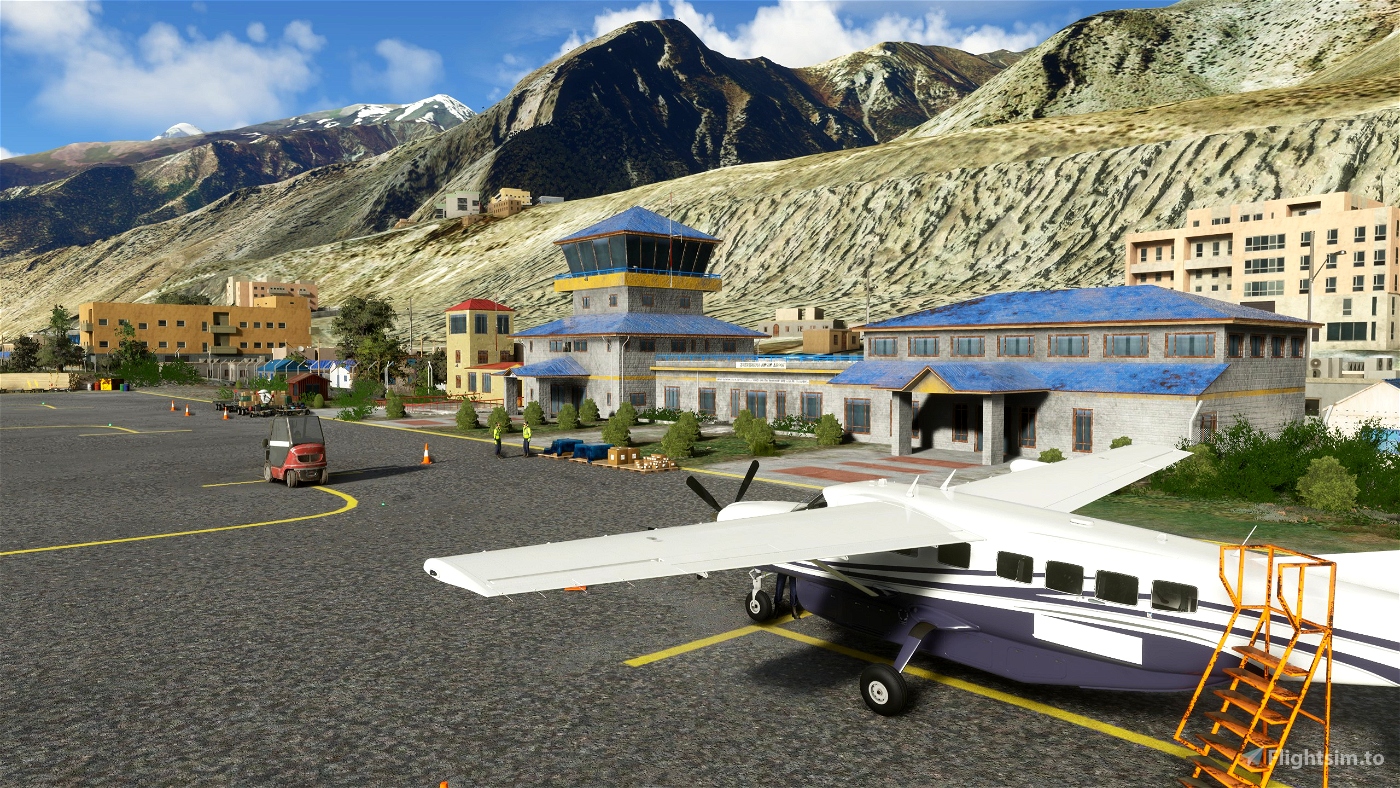
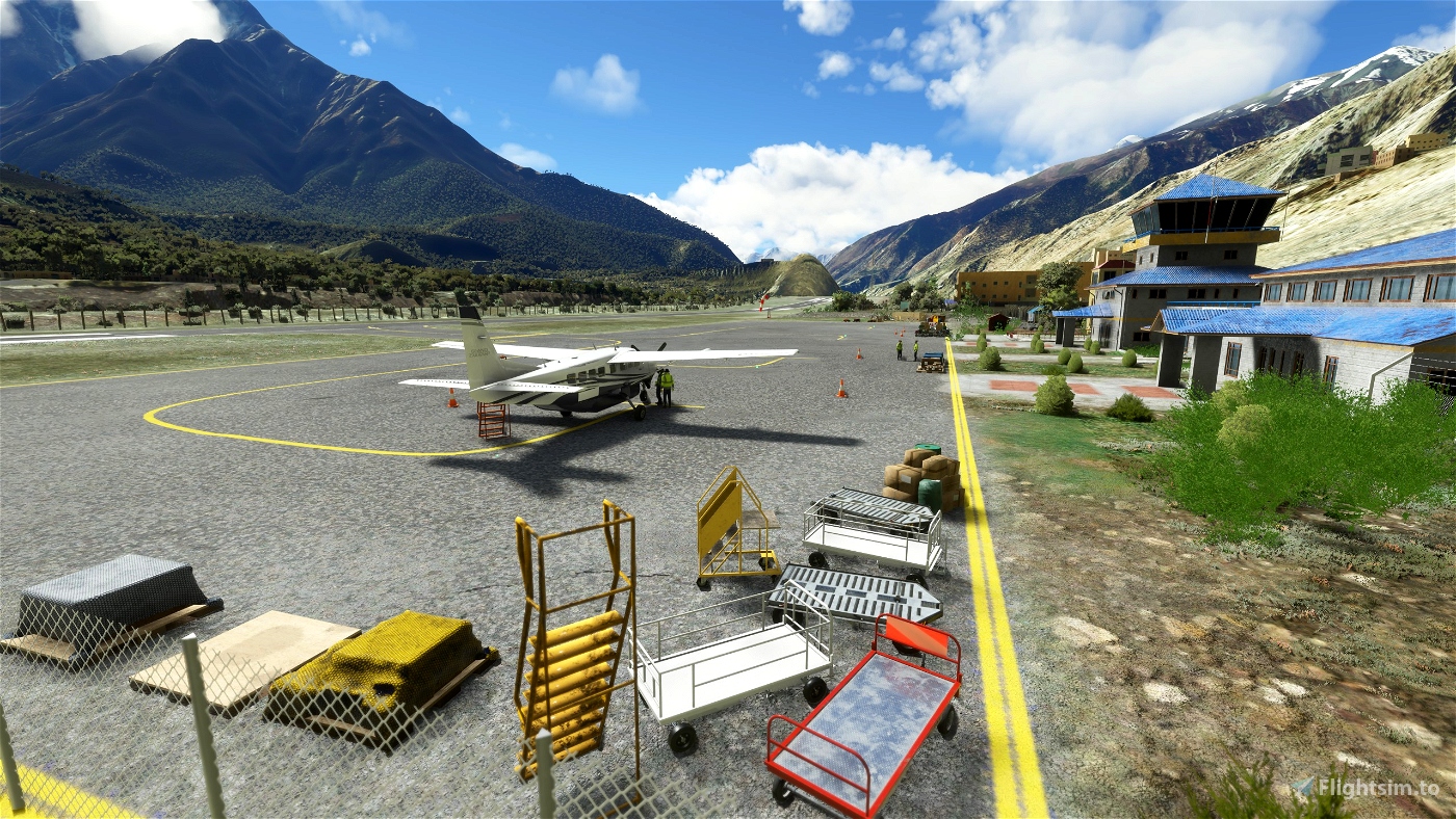
+model and add main apron
+model and add 9 different type of nepal building
WHAT'S NEW IN V.1.2
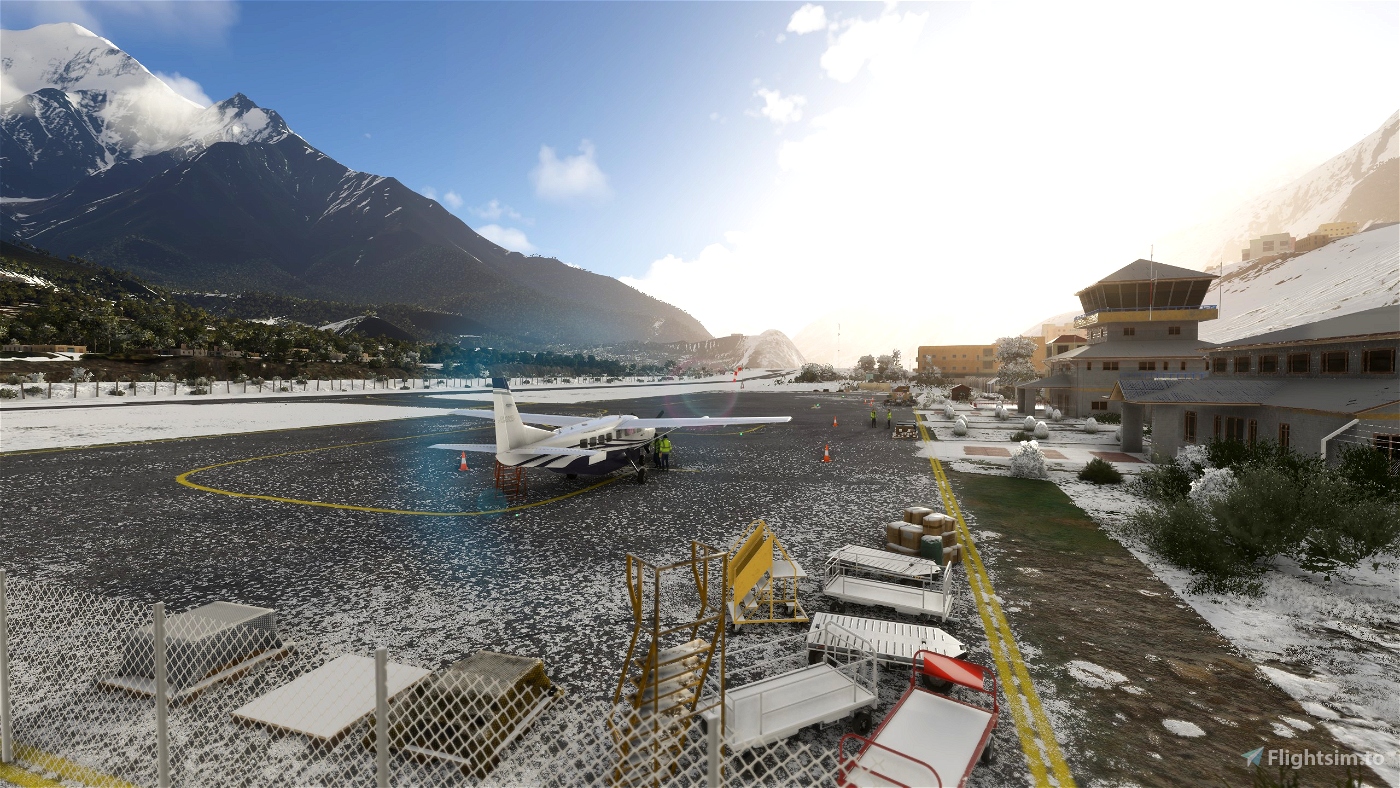
+fixed snow layer on runway
+remove any lights from taxiway and runway
+fixed some height layer bug
WHAT'S NEW IN V.1.2
+fixed modellib-bgl (see https://forums.flightsimulator.com/t/scenery-creators-please-move-or-rename-your-modellib-bgl/307563)
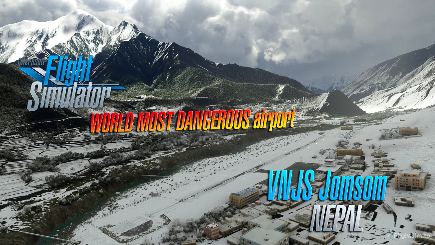
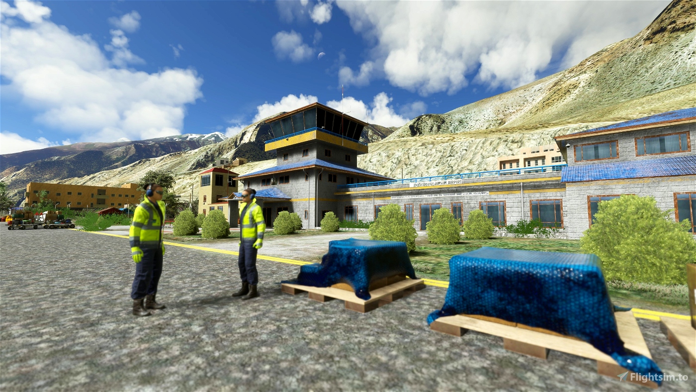
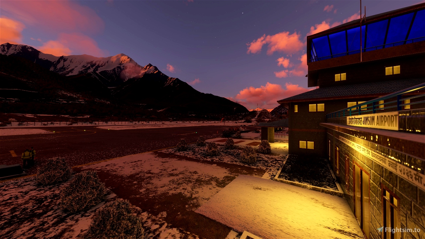
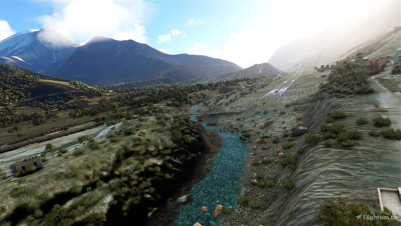
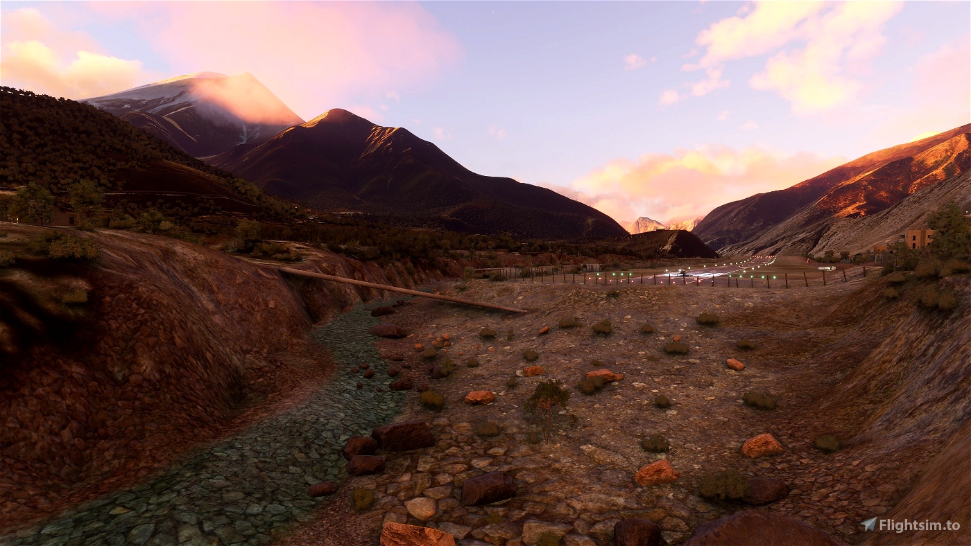
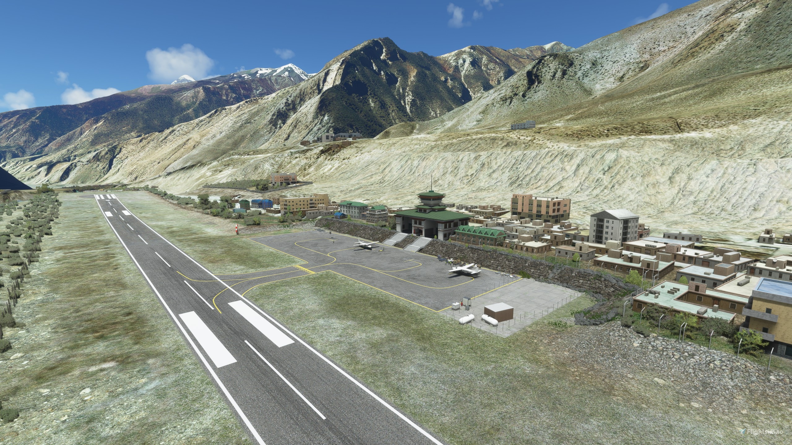
Jomsom Airport (IATA: JMO, ICAO: VNJS)is a domestic airport located in Jomsom serving Mustang District, a district in Gandaki Pradesh in Nepal.It serves as the gateway to Mustang District that includes Jomsom, Kagbeni, Tangbe, and Lo Manthang, and Muktinath temple, which is a popular pilgrimage for Nepalis and Indian pilgrims.
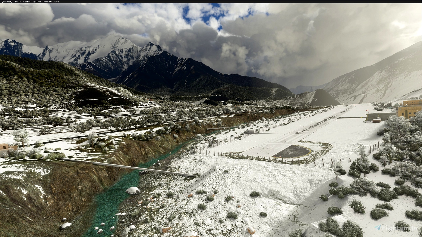
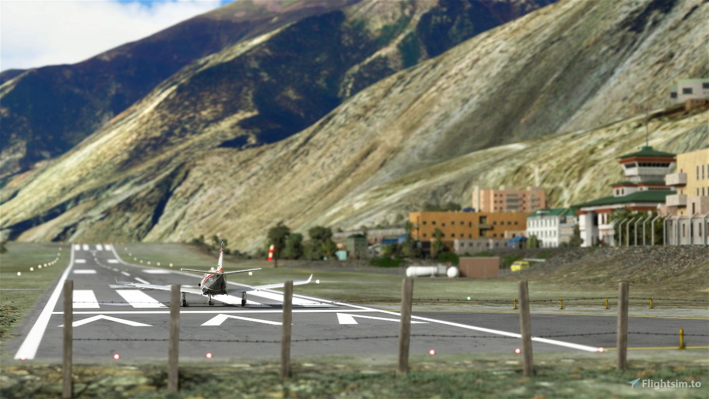
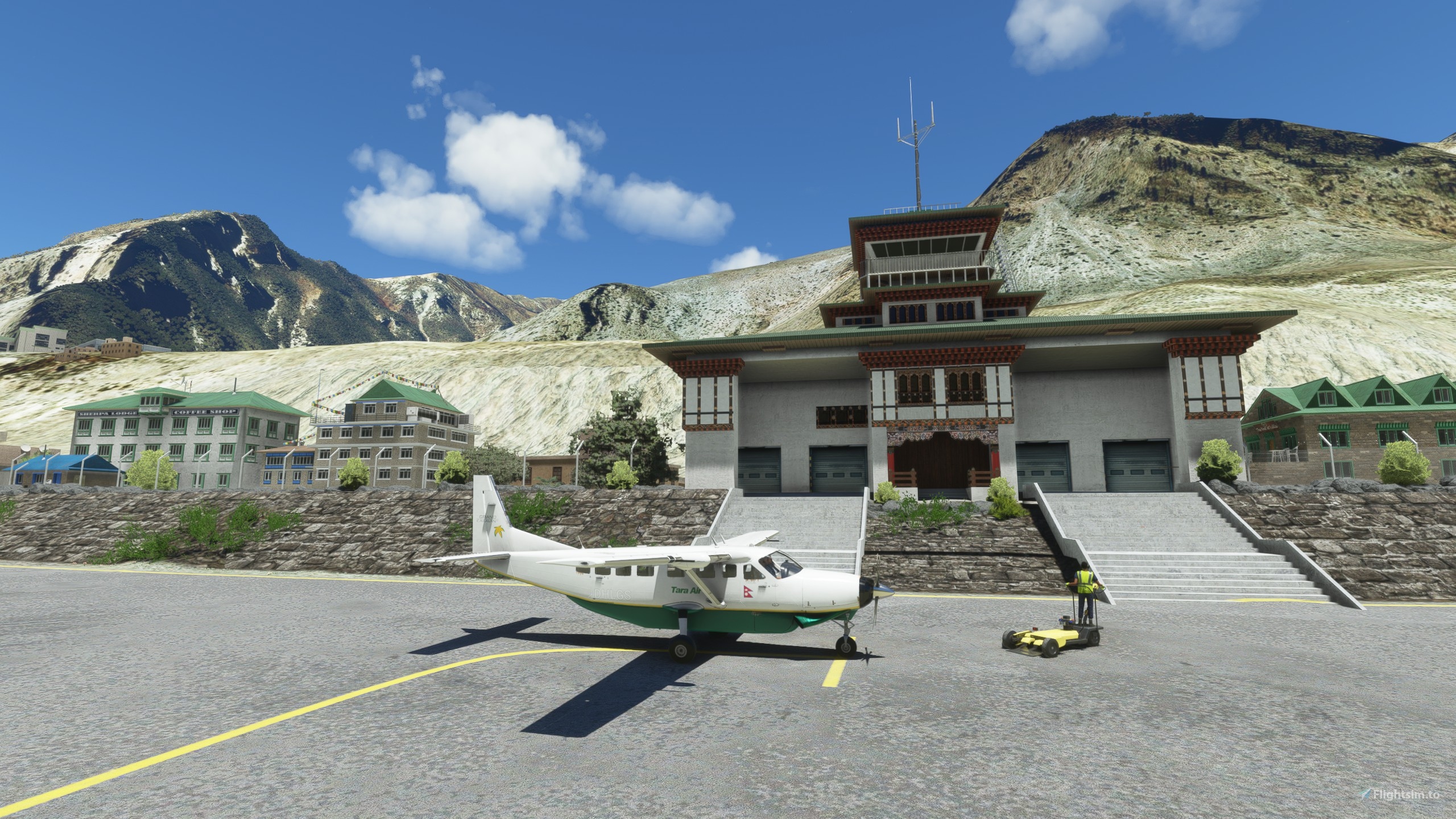
The airport resides at an elevation of 8,976 feet (2,736 m) above mean sea level.It has one asphalt paved runway designated 06/24 which measures 2,424 by 66 feet (739 m × 20 m).There is a down slope of 1.75% up to about 418 feet (127 m) from the threshold of runway 06.There is a terminal building for passengers.
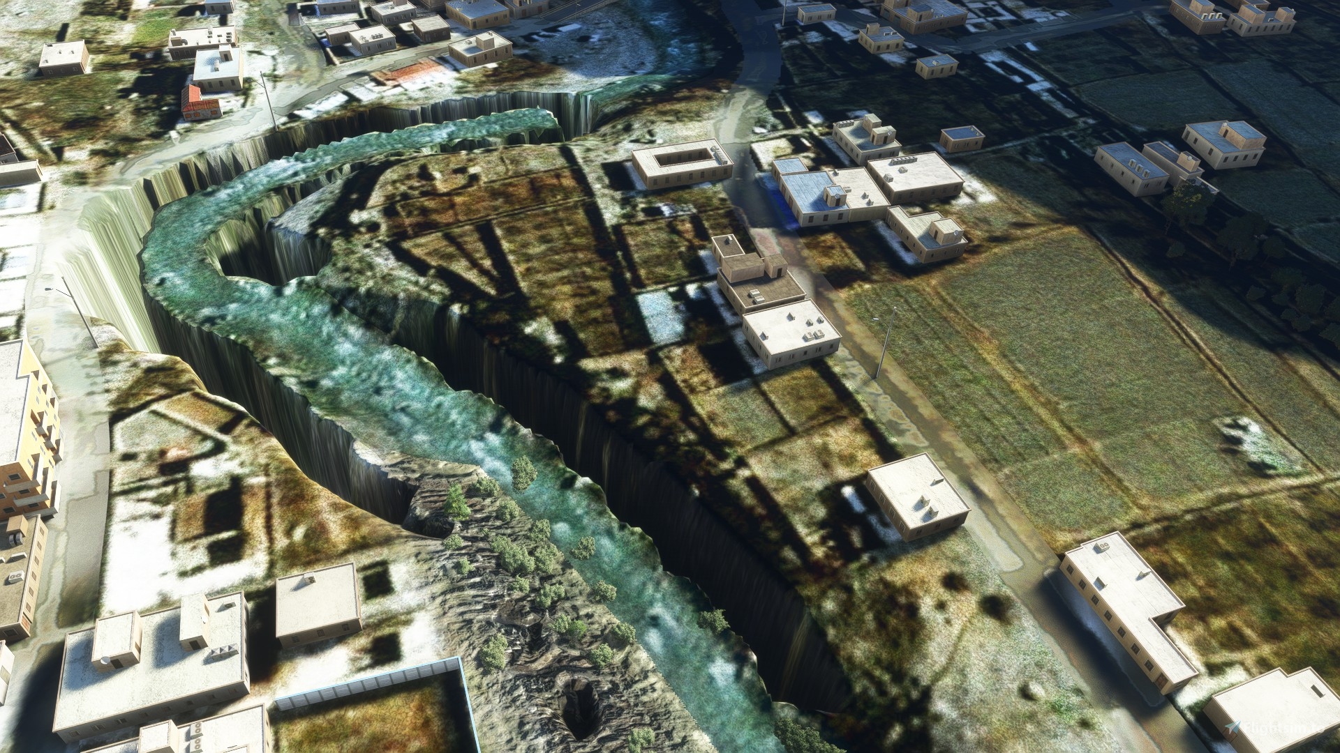
There are daily flights between Pokhara Airport and Jomsom during daylight hours in good weather.Although the flying distance is short and flight time just 20 minutes, very high mountains between Pokhara and Jomsom, including Dhaulagiri (8,167 m or 26,795 ft) and Tukuche (6,920 m or 22,703 ft) on the west and Nilgiri Central (6,940 m or 22,769 ft) and Annapurna (8,091 m or 26,545 ft) on the east, require planes to fly through the Kali Gandaki River gorge. With Jomsom Airport located at the head of the gorge, high terrain surrounding the airport presents a hazard when a go-around is required and when, as is frequently necessary after mid-morning, a turn is required at Jomsom to land into southerly winds. Heat from the sun in the Mustang District causes strong southerly winds in the Kali Gandaki River gorge and at Jomsom after early morning.
Cloud cover, changing visibility, and high winds, often mean flights are delayed or the airport closed.
The airport is available throughout the year but visibility is not adequate for visual flight rules flightabout 15% of the time. As wind speeds increase during and the day and high wind speeds often prevent airportoperation after midday, airlines schedule flights to Jomsom for the early morning when wind speeds are low. Airlines operate a shuttle service between Jomsom and Pokhara and planes are turned around as rapidlyas possible at each airport in order to complete as many flights as possible before wind speeds atJomsom become too high or visibility forces the suspension of flights.

 Blinn
Blinn 


2 months ago
2 months ago
CapSYDNEY
TommyvercettyGT
3 months ago
2 months ago
TommyvercettyGT
Albadingo
DHC6 cannot accelerate on ground. Is it a bug?
1 years ago
2 months ago
TommyvercettyGT
SamratKathayat
Love this scenery, having been there myself. There's a slight bug where the scenery warps itself up on the river bend just North of runway. Probably introduced in the new update, I see a lot of places with this problem.
1 years ago
Flyingzypher
Great Scenery, but could you please make it compatible with ORBX Himalaya Mesh? there are alot of huge terrain errors.
Thanks! 😊
2 years ago
jetpilot82
This is basically payware quality, awesome! Can you look into the Orbx Himalayas mesh incompatiblity maybe? Would be nice to use the two together.
Plan to fly a Pokhara-Jomsom trip in memory of the recently crashed Tara Air Twotter...
Update: after flying the trip, yes, I confirm, there are ugly canyons south of (in the valley) and around the airport using with the Orbx mesh. Otherwise the airport itself looks great.
2 years ago
szcsongor
there seems to be a problem with elevation data when using the Orbx Himalayas Mesh. I get a lot of steep slopes with stretched textures and a gorge around the south of the airport
2 years ago
https://www.youtube.com/watch?v=QeNYQJnFENA this is how it looks for me
2 years ago
paulhannover
paulhannover
What a fun airport to fly into. Great work!
2 years ago
robhaynes82
Please make it compatible with the update 7. Thanks!
2 years ago
clouddee
funcionou msfs2020 versão 7 ok muito obrigado lindo cenário parabéns
2 years ago
fernandoborato
Good work! Thanks a lot!
You can find a review here:
https://flightnews24.de/?p=2760&preview=true&_thumbnail_id=2769
3 years ago
Jomsom is relative easy.. the most hard in my opinion Dolpa and Simikot, try it and let me know
3 years ago
Blinn
fsnews24
I dont understand something, previous version i have in my community folder is about 10mb in size. This version now is 780mb. how can it be such a huge difference ?
3 years ago
WHAT'S NEW IN V.1.3
+model and add main apron
+model and add 9 different type of nepal building
3 years ago
Blinn
Roi1862
Gentleman, could you update this? it won't show up in the sim. Thanks
3 years ago
bhusuku
https://youtu.be/cbhCr38BA20
3 years ago
FilbertFlies
3 years ago
velador73