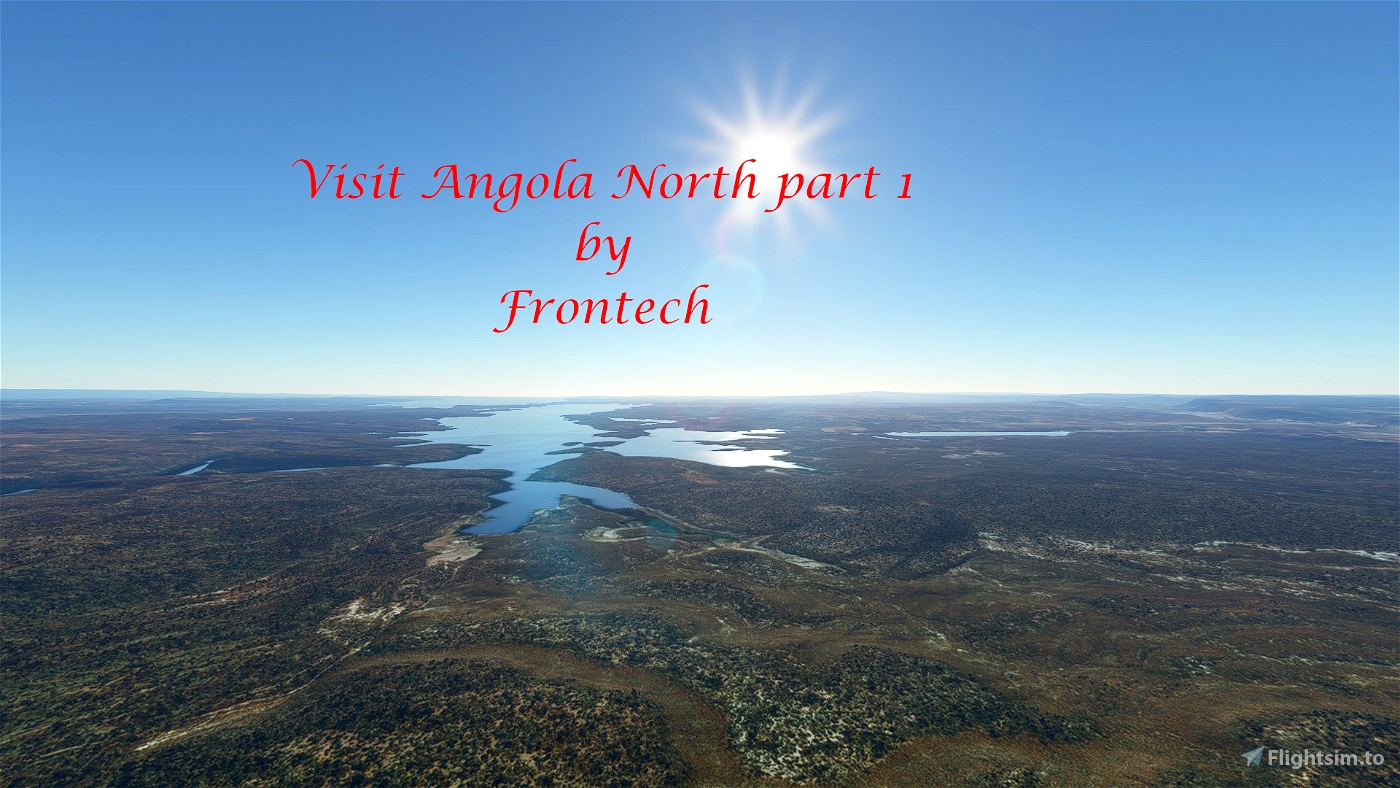
Some four months ago Gjanosh61 asked me if I was prepared to create for him a bush trip in Angola. He had create a new mesh (12m) and wanted to show it, but had never creates a bush trip. To cut things short, I create a trip which touches almost all airports in the northern part of Angola.
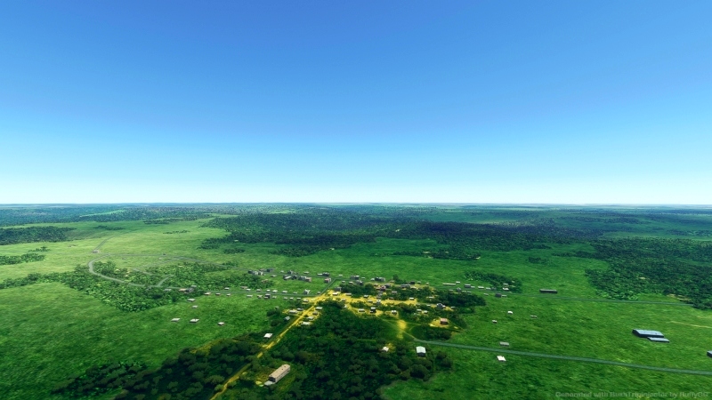
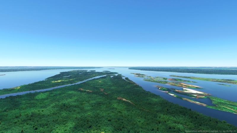
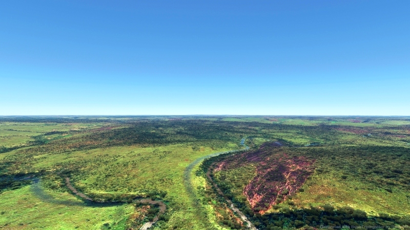
Angola is located on the western Atlantic Coast of Central Africa between Namibia and the Republic of the Congo. It also is bordered by the Democratic Republic of the Congo and Zambia to the east. The country consists of a sparsely watered and somewhat sterile coastal plain extending inland for a distance varying from 50 to 160 km (31 to 99 mi). Slightly inland and parallel to the coast is a belt of hills and mountains and behind those a large plateau. The total land size is 1,246,700 km2 (481,400 sq mi).
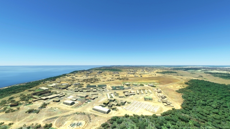
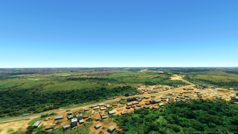
The trip starts in Cabinda, an exclave and province of Angola. First you fly north enjoying the environment and then you turn south to cross the republic of Congo to reach Angola. There you fly east. After 884 nm the trip ends at Camaxilo Airport. If you wish you can continue from this airport with part 2.
To have a full experience you have to install the following terrain mesh files.
Angola ETM12 Enhanced Terrain Mesh 12m vol_02 - Zaire-Uige by Gjanosh61
Angola ETM12 Enhanced Terrain Mesh 12m vol_04 -Luanda/Bengo/Cuanza Norte/Malanje by Gjanosh61
Angola ETM12 Enhanced Terrain Mesh 12m vol1 - Exclave of Cabinda by Gjanosh_61
Extact the contents of the zip file in your community folder.
The trip was made with the aid of Little Navmap, Wikipedia and BushTripInjector. So many thanks to Alexander Barthel, BuffyGC and al those anonimous contributors to the wiki.
Enjoy, happy flying and safe landings,
This bush trip was tested, but is not free from the bugs FlightSimulator is presenting the community. Markers are available by default, so it the GPS brakes down you sill can fly.

 Frontech


What a nice surprise to see this type of files for Angola. Thank you so much.
10 months ago
7 months ago
Frontech
TheAfricanFlyer